
Seymour ZIP Coverage at a Glance
Official Census and Postal Service sources directly verify 47274 for Seymour city proper. The Seymour Post Office is at 321 N Chestnut Street and uses the full postal form 47274-9998. Several other codes appear nearby or with rural preferred-city associations, but they should not be counted as extra city-proper postal codes without checking a specific address.
| Postal code | Verified area | Office or association | Boundary caution |
|---|---|---|---|
| 47274 | Seymour city proper is directly supported by USPS and Census sources | Seymour Post Office, 321 N Chestnut | Delivery area and incorporated boundary are not guaranteed to match |
| 47228 | Nearby postal geography | Cortland Post Office | Not verified as Seymour city proper |
| 47235 | Associated rural or preferred-city use | Exact route boundary not captured | Verify the individual address with USPS |
| 47249 | Associated rural or preferred-city use | Exact route boundary not captured | Do not merge with the city count |
| 47264 | Associated rural or preferred-city use | Exact route boundary not captured | Address-level confirmation is required |
| 47245 | Nearby postal geography | Hayden Post Office | Not a verified Seymour city ZIP |
No official ZIP-boundary map or verified Seymour split notice was found in the reviewed sources. That is why the table labels evidence rather than drawing hard boundary lines. Nearby-office results show service geography, not municipal membership. A rural address may accept Seymour as the preferred city while its parcel sits beyond the incorporated line.
The surrounding codes also point to different places. USPS location results tie 47228 to Cortland and 47245 to Hayden. Brownstown, the Jackson County seat, uses 47220. Those office results help explain why a search centered on Seymour can encounter nearby postal names, but none turns the neighboring town into part of Seymour. Preserve the full mailing line exactly as the source returns it.
Verify a Seymour ZIP First
Use the USPS address and ZIP tools before publishing or searching an address. Enter the complete street line rather than choosing a code from a nearby-office list. Keep the standardized city, state, ZIP, and ZIP+4 when returned. The result shows how mail is routed; it does not establish ownership, city limits, or a resident's identity.
The USPS start screen is the source for that address-level check.
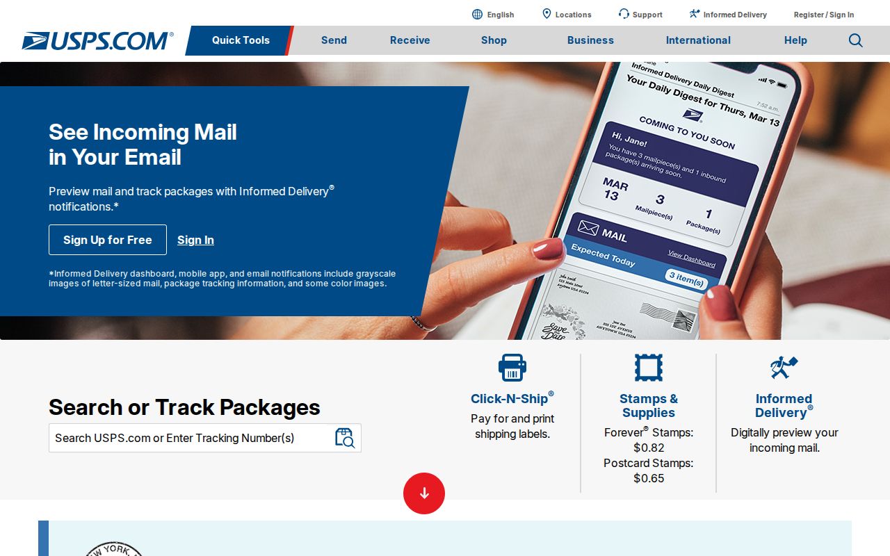
After the postal form is fixed, compare it with Jackson County GIS. A mismatch between the preferred city and tax district is useful evidence, not an error to erase.
Seymour's 47274 Postal Anchor
The Seymour Post Office listing gives the most concrete local postal anchor: 321 N Chestnut Street, Seymour, Indiana 47274-9998, with local phone 812-522-2559. USPS customer service is 800-275-8777. The listing verifies an office and its postal code, not every edge of the delivery area.
The captured USPS location page ties the directory research to the named Seymour facility.
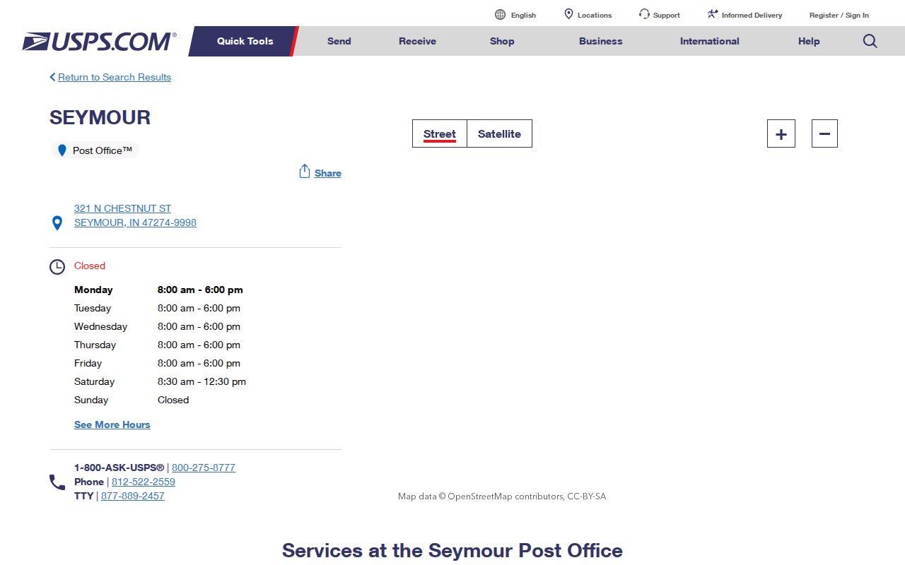
Use the location detail for office contact and the address lookup for a home or parcel. Those are separate tasks. One verifies the facility; the other checks the deliverable address.
Seymour ZIP and ZCTA Counts
USPS builds ZIPs around mail delivery. The Census Bureau creates tabulation areas, or ZCTAs, from census blocks and address points so statistics can be summarized. A ZCTA is a generalized statistical shape. It can differ from the real delivery pattern and from the incorporated city.
Census QuickFacts for Seymour city reports 21,569 people in the 2020 Census and a 2024 estimate of 22,524 across about 12.13 square miles. Those are city figures. They must not be presented as the population of all addresses that use 47274. A postal directory should label the geography and data year beside every number.
Find Seymour Residents by ZIP
None of the inspected Seymour public systems offered a verified, open resident list filtered only by ZIP. The tax pages show city, state, and ZIP in address context, but a ZIP-only filter was not confirmed. Jackson GIS exposes owner and sales tools rather than a visible ZIP field. IndianaVoters confirms personal registration and polling details, not a public ZIP-wide roster.
- Normalize the full address through USPS and retain any ZIP+4 that the service returns.
- Open Jackson County GIS and locate the parcel by map, address, owner, or parcel key. Record situs, mailing address, district, and legal description.
- Compare the parcel with the county tax search. Treat its ZIP as one returned address field, not proof of a ZIP-wide search feature.
- For voter registration, use IndianaVoters for the person and address in question. Full computerized voter-file access follows separate statutory forms and use limits.
- Once the area is narrowed, use the Seymour street directory method for address-by-address work.
The Indiana Professional Licensing Agency search does expose a ZIP field along with profession, license type, name, city, county, status, DBA, and license number. That field narrows license records only. It is not a list of Seymour residents. Verify the license status and displayed address within the licensing record's own purpose.
A statewide voter file follows a different route. Indiana law provides a public-inspection baseline, but a computerized file requires State Form VRG-24 and a statutory political-use and non-solicitation statement. Protected Address Confidentiality Program records, Social Security numbers, agency identity, citizenship-proof material, and ballot-secrecy information are restricted. For a personal registration check, the state lookup is the simpler and more fitting channel.
Seymour ZIP Meets Parcel Records
A postal code becomes more useful when connected to the county's address keys. The Jackson GIS sample at 100 St Louis Avenue shows a situs address in Seymour, an owner mailing PO box, parcel 36-66-17-317-045.001-009, and a lot-and-block legal description. Each field describes something different.
| Local field | What it establishes | What it cannot prove |
|---|---|---|
| Situs address | Where the parcel or structure is located | Who occupies it now |
| Owner mailing address | Where county correspondence is sent | That the owner lives there |
| Parcel number | The assessment key across GIS and tax systems | A permanent identifier after every split or combination |
| Legal description | Lot, block, subdivision, or land identity | A modern mailing format |
| Tax district | Assessment and local taxing context | The USPS delivery boundary |
The sample's transfer rows span 2000–2019 and include a company owner plus a "Comp" code. Not every transfer line is a standard sale. Use the document number to reach the recorded instrument before drawing a conclusion.
The GIS and tax systems are current-facing tools, and neither inspected interface published a clear online start date. Their results can be exported or opened as a property card, yet the map disclaimer says the data is frequently updated, not guaranteed, and not a legal description. When a parcel edge or legal boundary matters, move from the screen to the recorded plat, survey, or deed held by the county custodian.
Postal Codes Miss Old Seymour
Early city directories and maps predate modern postal codes. Searching 47274 in a historical volume can therefore hide the very record being sought. Start with the street, house number, surname, lot and block, or nearby cross street. The documented Seymour Sanborn map years run from 1887 through 1924, while atlases from 1878 and 1900 give another geographic bridge.
Planning & Zoning assigns E911 addresses and processes plats. City Engineer files may preserve annexation descriptions and new-street records, while the County Surveyor holds historic road maps, subdivision surveys, railroad plans, and cemetery plats. No verified Seymour-wide renumbering year was found. Request the exact plat, annexation ordinance, or address file when a modern number fails instead of inventing a conversion date.
The Surveyor's documented map trail is broad: it includes 1816 and 1819 maps, an 1897 Galbraith Railway Mail Service map, later road maps, cemetery plats, and railroad plans. Those sources can connect a present parcel to an old route or subdivision even when modern postal labels are absent. City Planning or Engineer records are not exposed through a public address index, so request an existing file by address, parcel, and date range under Indiana APRA.
Note: Historic districts such as Walnut Street and Westover Addition aid map orientation, but they are not postal boundary or resident-list sources.
Seymour ZIP Versus City Limits
Seymour sits inside Jackson County, but Brownstown is the county seat. That geography changes both record access and boundary checking. A place with a Seymour mailing address may fall outside the incorporated city, while the county parcel still has a Seymour situs line or school district. Verify the city boundary through GIS or Census place geography and the mailing form through USPS.
- ZIP and ZIP+4
- The five-digit code identifies a delivery area; the added four digits narrow delivery to a smaller segment or destination.
- PO-box ZIP
- A code or ZIP+4 used for post-office boxes. It does not describe a residential street boundary.
- Unique ZIP
- A code assigned to one high-volume organization rather than a normal neighborhood. None was verified for Seymour.
- Carrier route
- A group of delivery points served by a postal carrier. It can cross boundaries used by local government.
Use the Seymour postal directory as a narrowing tool, then switch to the custodian's own geography. Parcel questions follow Jackson GIS and tax records. City planning questions follow Seymour's address and annexation files. Postal delivery questions stay with USPS. Keeping those layers separate prevents a preferred-city label from becoming a false claim about residence or jurisdiction.