
Seymour Address History by Era
A backward search for previous residents needs a source that fits the period. Current parcel tools orient the search, recorded instruments carry ownership across decades, and directories or census schedules can add people who did not own the land. Jackson County’s verified archival coverage is useful precisely because the recorder’s online starting year is not published.
| Source | Years locally identified | Where held | What it shows |
|---|---|---|---|
| Recorder deed books and indexes | Books 1816–1888; indexes through 1888 and 1891–1900; later online start unknown | Jackson Recorder, State Library microfilm, Fidlar | Ownership, instrument, legal description, and certified-copy route |
| Assessor and GIS card | Current portal; researched sample transfers 2000–2019 | Jackson GIS, assessor, auditor, treasurer | Present parcel, owner, mailing and situs addresses, transfer leads |
| Seymour directories | NPS bibliography 1901–1994; Caron issues 1922–2002; Haines 1988–2013; Polk 2012 | Seymour Library and Indiana State Library | Name, address, household, and business clues, depending on edition |
| Federal census | Public releases through 1950 under the 72-year rule | National Archives and library databases | Household snapshot and enumeration geography |
| Sanborn maps | 1887, 1892, 1896, 1901, 1907, 1913, 1924 | Library, NPS bibliography, and map collections | Footprint, materials, lot, use, and street continuity |
| Court and probate microfilm | Court 1816–1922; probate and wills 1818–1928 | State Library and local library | Heirs, fiduciaries, estates, judgments, and guardianships |
| Newspapers and obituaries | Scattered 1849–present | Seymour Library and Indiana Legacy | Death, move, family, business, and civic clues |
| City permit files | Current start not published | Seymour Planning and Zoning | Construction, alteration, demolition, inspection, or address action |
Begin with GIS for any address that exists today. For a nineteenth-century trail, use legal descriptions, maps, recorder books, and microfilm before expecting a modern street number to work.
Fix the Seymour Parcel First
The current card is a control record. Search the situs address in Jackson County GIS, then save the parcel number, owner, mailing address, legal description, classification, transfer rows, and print date. Compare those fields with the auditor or treasurer tax history. A split or combination can change a parcel number, so retain an old map number and the lot or block whenever they appear.
The 100 St Louis Avenue sample makes the point concrete. Its owner is 100 SLA, LLC, while correspondence goes to PO Box 101. The parcel is Lots 7, 8, 9 and part of Lot 6 in Block K, and its transfer table runs from 2000 to 2019. That card does not prove who occupied the building. It does provide document 201906368 and earlier book, page, owner, value, and code leads for the recorder.
Use the Seymour street directory when the task is to inspect current parcels across a whole road. Keep the previous-residents search focused on one address and its backward chain.
Trace Jackson County Owners Backward
The chain of title is the sequence of recorded interests in the same land. It begins with today’s assessed owner but must be proved with recorder documents. Jackson County specifically warns that its staff cannot find a deed from a street address or parcel alone. Supply the owner name and an approximate purchase date.
- Copy the current owner, parcel number, legal description, transfer date, and document ID from GIS and tax records.
- Open Fidlar Tapestry or EON and search the current owner as grantee near the transfer date. Narrow with document number, subdivision, lot, block, parcel, or legal terms.
- Read the purchase instrument and identify its grantor, the person or entity conveying the interest.
- Search that grantor as an earlier grantee. Repeat with spelling, initials, marital names, companies, trusts, estates, and other indexed variants.
- When online results end, use the recorder’s general index in person or request a copy in writing. Do not substitute a guessed web cutoff.
- Move to the verified State Library deed books and indexes for the early Jackson County years, then pair each transfer with a directory, census, map, or probate source.
- Grantor
- The person or entity that conveys an interest in a recorded instrument.
- Grantee
- The person or entity that receives that recorded interest.
- Chain of title
- The linked sequence of instruments affecting the same parcel through time.
- Legal description
- The lot, block, subdivision, or metes-and-bounds language that identifies land more reliably than an old street number.
The Jackson County Recorder is at 111 S Main Street, Brownstown, 812-358-6113. The public may use the counter, send a representative or title company, or ask for current written-copy and payment instructions. The office will not conduct searches or give recording information by phone.
Seymour Deed Access Channels
The county recorder page confirms the custodian and record types behind a previous-residents search.
The Jackson County Recorder source appears below.
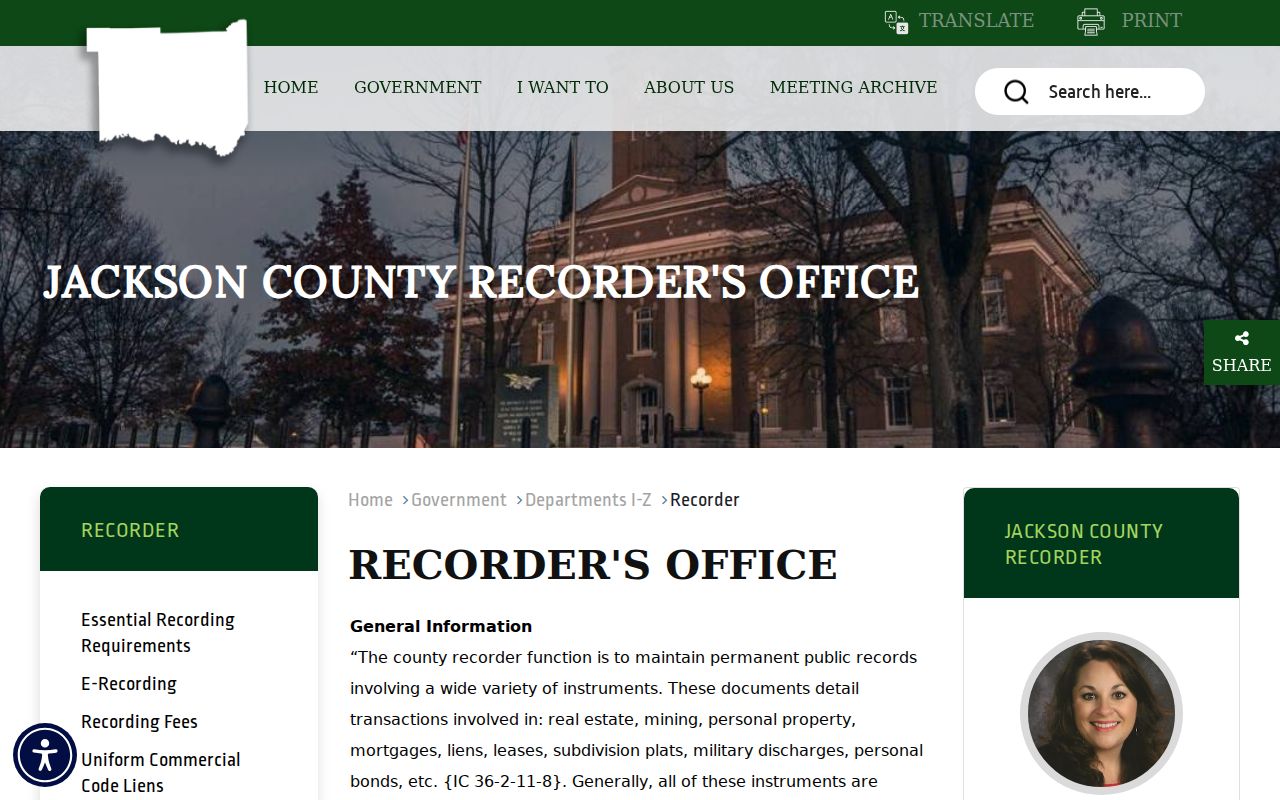
This office route matters when a web index is incomplete, when an official copy is needed, or when the researcher must consult the general index.
The county’s detailed deed-search instructions are also captured below.
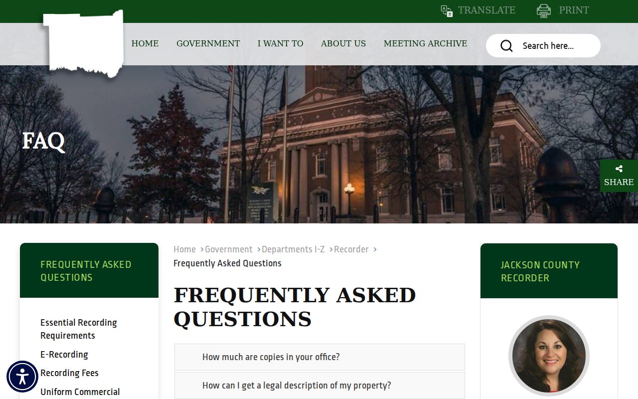
The instructions explain why owner name and approximate purchase date are stronger keys than address alone and why a phone call cannot replace the search.
Fidlar provides the online entry point named by Jackson County. Search fields documented in the vendor guide include first and last name, document number and type, date range, consideration, subdivision, lot, block, parcel number, and metes-and-bounds text.
The Fidlar land-records entry is shown here.
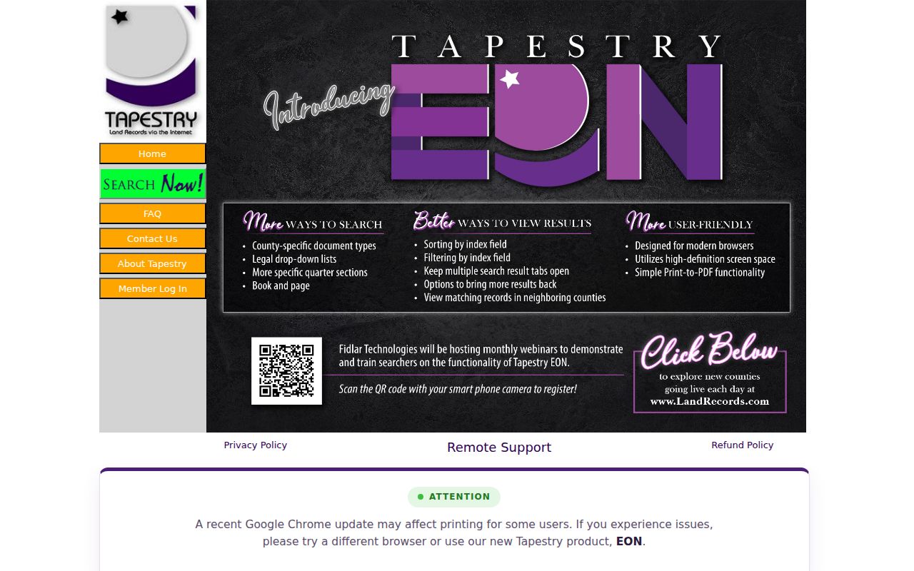
That screen is an index route, not a guarantee that every early Jackson County deed image is online. Search and image charges remain vendor controlled.
Seymour Records Beyond the Index
When a Fidlar search stops, the archival fallback is specific. Indiana State Library’s Jackson County inventory lists land and deed books from 1816 through 1888, grantor and grantee indexes through 1888, and deed indexes from 1891 through 1900. It also lists court material from 1816 through 1922, probate and wills from 1818 through 1928, marriages from 1816 through 1951, naturalization from 1852 through 1905, delayed births, apprentice records, and other special registers.
The Indiana State Library genealogy coverage guide supplies broader context for historical birth, marriage, and death research.
The guide helps choose an index and period, while certified records still come from the correct county or state custodian.
Seymour Library Local History and Genealogy adds atlases, plat books, city and telephone directories, newspapers, yearbooks, family histories, and county microfilm. No fixed house-history lookup fee or verified reverse-directory title was found. Bring the parcel, legal description, owner names, and target decade, then ask staff which specific volumes and reels cover the address.
Note: Verified microfilm dates are fallback coverage, not proof that later original books or images do not exist elsewhere.
Match Seymour Lots Across Maps
No verified Seymour-wide renumbering year exists in the research. Treat a failed number as a map problem, not proof that the address vanished. Search old street spellings and nearby cross streets. Compare the legal lot, block, subdivision, building outline, rail line, road alignment, and adjacent parcels.
Seymour Sanborn maps are cited for 1887, 1892, 1896, 1901, 1907, 1913, and 1924. Atlases are cited for 1878 and 1900. Jackson County Surveyor material adds 1816 and 1819 maps, an 1897 railway mail map, road maps across later decades, cemetery plats, and railroad plans. These sources can show when a building footprint or street context changed, though maps alone do not identify a resident.
Seymour’s Commercial Historic District, Walnut Street houses, and Westover Addition represent different building and map eras. Use them as search context, not as modern postal or neighborhood boundaries. If an annexation, new street, plat, E911 assignment, or permit seems relevant, request the existing address-specific file from Seymour Planning and Zoning under Indiana APRA.
Find Seymour Past Households
Deeds answer ownership. They may not answer who lived there before. Around each transfer date, check the closest available Caron, Haines, or Polk directory issue by name and address. Then compare a public census year. Census schedules give a household snapshot, while a directory can provide an entry between census years. A criss-cross section, if that edition includes one, lets an address lead to a subscriber or occupant.
Use a simple flow: deed date → directory before and after → released census → newspaper or obituary → probate → next deed. Keep each statement tied to its source. A directory entry does not prove the person stayed all year, and the census is not an annual roll. Full publisher runs and shelf details belong to the Seymour directory book collection.
Obituaries may name relatives, former addresses, or a move. Probate can identify heirs and a fiduciary, which is the person responsible for an estate. Search the next deed for that heir or fiduciary and compare the legal description. Cemetery evidence can help at the end of a life trail. Seymour’s city cemetery began in 1816, operated for 111 years, later had graves moved to Riverview, and was mapped in 2020. No online interment-name search was verified, so ask the city or library about map access.
Seymour Previous Residents Limits
A house history can document owners, probable occupants, building changes, family ties, and dated events. It cannot guarantee a complete list of every person who stayed at the address. Owner mailing addresses may be elsewhere. Directory runs have gaps. Census releases are periodic, and confidential or sealed records remain closed. A missing portal result may reflect coverage, spelling, a parcel split, protection, or an indexing error.
Record the custodian, access date, exact name, address form, parcel, legal description, document or book and page, and whether the evidence is an index, image, map, uncertified card, or official copy. Strong claims should agree across two sources.
Lawful use. Research Seymour previous residents for family history, property history, heirs, or personal curiosity. Do not use a past address trail to track, pressure, stalk, harass, or harm a living person.